

AI-Powered Planning and Design, for Better Project Delivery and Urban Developments
GET STARTED


PRODUCTS
Industries
15 Minute City
Airports
Amenity Planning
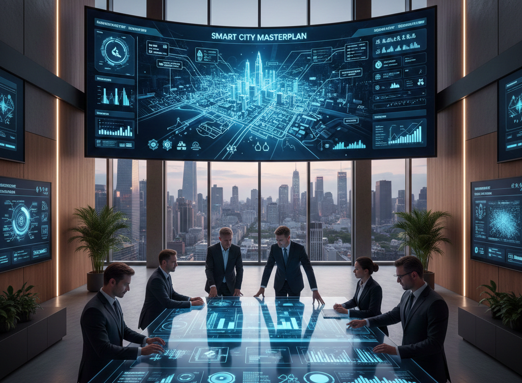
City Development
Compact City
Complex Factories
Data Centers
Educational Campus
Electrification Facilities
EV Factories
EV Sites
Fulfilment Centers / Warehouses
Hospitals
Innovation Centers
Laboratories
Land Use Prediction
Logistic Centers
Manufacturing Facilities
Masterplanning
Medical Centers
Ports and Repurpose docks
Railway Stations
Research Labs
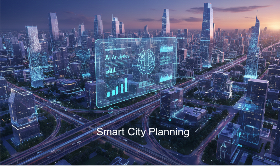
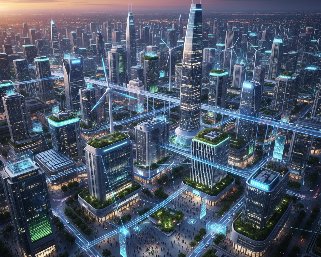
Smart Cities
Tech Campuses
Transport Hubs
Vertical Takeoff
© 2026 DigitalBlueFoam