
Difference Between GIS and Geospatial Explained
This blog clarifies the difference between GIS (Geographic Information Systems) and geospatial technologies, which are often confused but serve distinct roles. GIS is a system for managing, analyzing, and visualizing spatial data, while geospatial encompasses a broader set of tools like GPS, remote sensing, and IoT that gather and process location-based information. The post explores their applications in urban planning, disaster response, environmental monitoring, and logistics. It also highlights how tools like Digital Blue Foam (DBF) bridge the gap by making advanced spatial analysis accessible to non-experts. Understanding both helps professionals choose the right tools for smarter, data-driven decision-making. · June 9, 2025
As an urban planner, I’ve seen firsthand how vital location-based data is to every decision we make — from zoning regulations to climate-sensitive design. And yet, I often encounter students, junior architects, and even engineers confused about a seemingly simple question: What’s the difference between GIS and geospatial? There are many common misconceptions, and in fact, some of the most common misconceptions in the field stem from misunderstanding these terms. This article will clarify these misconceptions.
The phrases GIS and geospatial are commonly used in disciplines such as environmental science, architecture, urban planning, and disaster management. Anyone dealing with spatial data must be able to distinguish between them, even though they are closely related and frequently used interchangeably. Specifically, GIS and geospatial refer to different concepts: GIS refers to a system designed for capturing, storing, and analyzing spatial data, while geospatial refers more broadly to the data and technologies related to geographic locations. The term geospatial gained popularity in the late 1980s, reflecting the growing importance of geographic data and technologies in various fields.
The definitions of GIS and geospatial, their distinctions, their applications in the real world, and how tools like Digital Blue Foam (DBF) help close the gap between sophisticated geospatial technology and common design tools are all covered in detail in this blog.
Introduction to Geospatial Concepts
Understanding geospatial concepts is essential for anyone working with location-based information, whether in urban planning, public health, or data-driven decision making. At its core, geospatial data refers to any information that includes a geographic component—such as coordinates, addresses, or administrative boundaries—that ties the data to specific locations on the Earth’s surface. This spatial data forms the backbone of countless applications, from mapping city infrastructure to tracking disease outbreaks. Geospatial data includes topography, census data, geographic features, and data derived from postal codes, making it a versatile resource across industries.
Geospatial technology refers to the suite of tools and systems designed to acquire, manage, and analyze geographic information. These technologies include GPS for pinpointing locations, remote sensing for gathering data from satellites or drones, and satellite imaging for capturing detailed views of the Earth’s surface. The integration of these technologies allows users to collect and interpret vast amounts of spatial information, supporting more informed decisions in fields like urban planning and public health. Geospatial technology is integrated into many daily applications and advanced fields, demonstrating its broad utility and impact.
Geographic Information Systems (GIS) are a specialized subset within the broader world of geospatial technologies. While GIS focuses on the integration of geographic software to create, store, manipulate, analyze, and visualize spatial data in layered formats, the term geospatial encompasses a wider range of concepts and tools related to geographic locations. In GIS systems, geospatial data such as vector data, satellite imagery, and GPS data are stored in specific formats and repositories to facilitate efficient management, analysis, and visualization. For example, geospatial technologies also include systems for real-time data collection, predictive modeling, and the management of administrative boundaries.
It’s important to note that while the terms GIS and geospatial are often used interchangeably, geospatial is a catch-all term that refers to any technology or data with a geographic component. GIS, on the other hand, is a specific system designed for the comprehensive analysis and visualization of spatial data. By understanding these foundational concepts, users can better leverage the power of geospatial data and technologies to address complex challenges and make more informed decisions about the world around them.
GIS: What Is It?
GIS is an effective tool for decision-making in many different sectors because it enables users to construct layers of data that can be viewed and examined together. Spatial data within GIS can be analyzed to support applications such as urban planning, environmental management, and geospatial analytics. GIS refers to Geographic Information Systems, which are designed for capturing, storing, managing, analyzing, and visualizing spatial data. Managing spatial data is a key function of GIS, allowing users to organize and control geographic information for various applications. Making maps is central to GIS, as it enables the visualization of spatial data and helps users interpret geographic patterns and trends. Data can be mapped in GIS to create visual layers that represent different types of information for analysis and decision-making. Additionally, GIS establishes the relation between geographic features and data, allowing users to understand connections and relationships within spatial datasets. GIS also enables disaster response teams to map affected areas and efficiently coordinate rescue efforts, making it invaluable in emergency management.
Important GIS Features:
- Data Management: Accommodates raster data (grids, pictures) as well as vector data (points, lines, polygons).
- Analysis Tools: Execute tasks such as overlay analysis, proximity analysis, buffering, and geographical statistics, with robust spatial analysis and data analysis capabilities for extracting patterns, trends, and actionable intelligence from spatial data.
- Search and Retrieval: Enable users to search for and retrieve spatial data efficiently within GIS systems, supporting effective data analysis and understanding of geographic patterns and trends.
- Mapping and Visualization: Produce intricate 2D and 3D maps to help visualize spatial patterns.
Integration: Creates a cohesive system by combining data from several sources, such as sensors, databases, and satellite imaging.
Common GIS Software:
ArcGIS: The industry standard for expert GIS work, created by Esri.
QGIS: An open-source, free GIS program with a robust community and support for plugins.
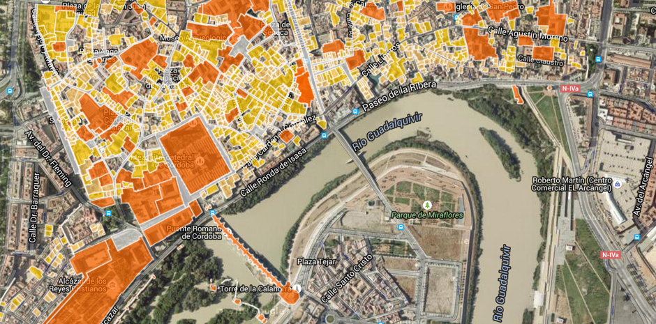
Digital Blue Foam (DBF): An easy-to-use tool that gives planners and architects access to GIS capabilities early in the design process.
Applications of GIS:
- Urban zoning and city planning
- Site suitability analysis
- Utility and infrastructure mapping
- Environmental impact assessments
- Transportation network design
What Does “Geospatial” Mean?
Anything with a geographic or locational component is considered geospatial. In addition to GIS, it comprises a wide range of additional technologies and data sources that gather, process, and evaluate geographical data.
Among the geospatial technologies are:
- Remote sensing: gathering information from aeroplanes, drones, and satellites.
- GPS (Global Positioning Systems): Offers up-to-date position data for mapping and navigation.
- Mobile mapping: gathering data using mobile devices and cars with cameras and sensors.
- Internet of Things (IoT): A network of gadgets that gather and send location-based information.
- Geofencing: Geofencing is the process of establishing virtual borders that, when crossed or abandoned, cause notifications or other events.
Applications of Geospatial Technologies:
- Climate modeling and environmental monitoring
- Disaster response and preparedness
- Asset tracking in logistics and transportation
- Real-time traffic monitoring
- Public health surveillance (e.g., tracking disease outbreaks)
GIS vs. Geospatial: Key Differences
Understanding the differences between GIS and geospatial helps in selecting the right tool or approach for a specific project:
Geographic information science (GISci) provides the scientific foundation for GIS and geospatial technologies, focusing on the analytical and theoretical aspects of spatial data. Today, these systems are increasingly integrated with advanced analytics, including machine learning and artificial intelligence, to automate complex data analysis, recognize spatial patterns, and enable real-time decision-making. Adopting a comprehensive approach—or even a more comprehensive approach—by integrating multiple technologies and methodologies enhances spatial data analysis and supports better decision-making across diverse applications.
Use Cases of GIS and Geospatial
Let's examine some real-world applications and instances of GIS and geospatial technology in action:
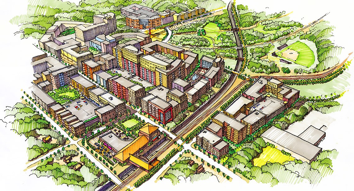
1. Planning for the City
- GIS Use: GIS aids planners in planning infrastructure, mapping zoning borders, analyzing land suitability, and simulating growth scenarios.
As an illustration, a city utilizes ArcGIS to assess possible sites for affordable housing by considering factors like flood risk, schools, and transportation accessibility.
- Geographical Use: GPS data and satellite images show trends in growth and help guide intelligent transportation plans.
Example: A planner assesses areas of high traffic congestion by combining mobile GPS traces with topography data obtained by drones.
2. Disaster Management
- Use GIS to map areas at risk, examine evacuation routes, and distribute aid as efficiently as possible. For instance, FEMA (USA) plans storm response plans and identifies flood-prone locations using GIS.
- Geographical Use: During emergencies, situational awareness is made possible by real-time satellite imaging and GPS monitoring.
Example: Geospatial systems monitor the spread of a wildfire and the movement of emergency vehicles.
3. Environmental Monitoring
- GIS Use: Use time-series spatial data to track changes in pollution levels, forest cover, or land use.
Example: A government organization uses QGIS to map and examine deforestation over a ten-year period.
- Geographical Use: Satellite photos determine the extent of drought, while Internet of Things sensors in rivers analyze water contamination in real time.
Example: A study team tracks glacier loss brought on by climate change using geospatial satellite data.
4. Transportation and Logistics
- Use GIS to plan effective delivery routes and assess accessibility for public transport.
Example: A logistics business analyzes traffic and warehouse proximity using GIS to maximize delivery times.
- Geographical Use: Real-time visibility and fleet tracking are enhanced with GPS trackers and geofencing. For instance, Uber uses geographic data to navigate its routes and determine when it will arrive.
How Digital Blue Foam (DBF) Fits into the Geospatial Ecosystem
Digital Blue Foam (DBF) connects sophisticated GIS tools with user-friendly planning processes. It makes it possible for experts to use geographic data in design and planning contexts without having technical GIS expertise.
What DBF Provides:
- Simple access to worldwide geographic information, such as climatic zones, land use, and topography.
- Contextual site analysis using OpenStreetMap and satellite imagery integration.
- 3D visualizations and scenario modelling for environmentally friendly city planning.
- Architects, developers, and planners work together seamlessly.
Real-World Impact:
Without having to become proficient with conventional GIS tools, urban designers may use real-world data to evaluate zoning laws, model population density, or investigate green construction options.
Conclusion
Data-driven decision-making is supported by GIS and geospatial technology in a variety of domains, including transportation, environmental research, urban planning, and disaster management. While geospatial technologies give a more comprehensive framework and tools to gather and distribute this data in real-time and across large landscapes, geographic information systems (GIS) offer a structured, analytical environment to manage and evaluate geographic data.
Organizations may select the best tools for the job and create more effective, precise, and significant solutions by knowing the distinctions between these two concepts. While geospatial technologies improve context, real-time awareness, and the extent of data capture, GIS is better for detailed spatial relationship analysis and visualization.
When combined, they provide a thorough understanding of the physical world and empower users to design more intelligent, robust, and sustainable systems. The power of GIS and geospatial insights may improve your job, create better cities, and inform important choices, whether you're an architect, tech innovator, environmental researcher, or city planner.
Even consumers with little technical knowledge may easily use real-time data, engage in spatial thinking, and model urban development scenarios with the help of technologies like Digital Blue Foam. At the nexus of geographic breadth and GIS precision lies the future of design, planning, and data integration.
FAQs
- Are GIS and geospatial the same thing?
No, one element of geospatial technology is GIS. Numerous more tools, like as GPS, remote sensing, and IoT, are part of geospatial.
- Is geographical data required to utilize GIS?
No. For GIS to work, geographical data such as coordinates, satellite images, and spatial layers are necessary.
- What other geospatial technologies exist besides GIS?
Drones, GPS trackers, satellite imaging devices, and mobile mapping tools are a few examples.
- What kinds of GIS are there?
Desktop GIS programs like QGIS and ArcGIS Pro, web-based GIS programs like ArcGIS Online, and mobile GIS programs like Survey123 and Collector for ArcGIS.
